At the beginning of the Heian period, the Nankaido began to stretch over the Kimi mountain pass entering Kinokuni which later became an important highway connecting the Kawachi area and Kii. This route takes you to Hashimoto, mainly along the National Route no.371. When crossing the mountain pass, the route will take you along the old highway they used in the old days.
The pink line indicates where the Nankaido used to be. The red line is the walking course.
-
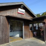
Nankai Amami Station
34.397474,135.595644,14 -
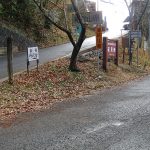
Kimi toge
34.377871502560055,135.60363888891607,15 -
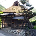
Yoso an
34.3682682,135.59873670000002,16 -
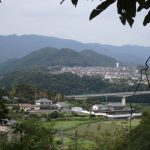
Nagayabu castle ruins
34.3578028,135.61494170000003,14 -
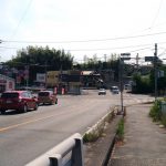
Miyuki tsuji
34.338322876971375,135.60573375165097,14 -
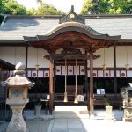
Oga hachiman Shrine
34.335479,135.6099878,14 -
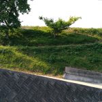
Gomo yakata ruins
34.32939510694239,135.60955135277868,17 -
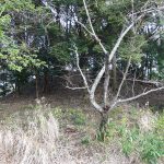
Misasagiyama Kofun
34.3206841,135.61307650000003,16 -
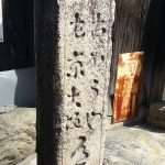
Yamato-kaido Road signpost
34.31633,135.6103319,16 -
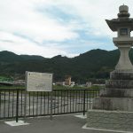
Toge watashiba daijoya toro
34.3144561,135.61139249999997,15 -
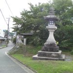
Sanken chaya daijoya toro
34.3104091,135.6096612,15 -
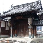
Ogaji temple
34.3166777,135.6131064,16 -
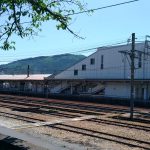
Kosada abandoned temple ruins
34.318493550614136,135.61459938465578,18 -

JR Hashimoto Station
34.3182543,135.6146423,15 -

Hashimoto city kyodo shiryo kan
34.341163,135.600546,14 -
Matsuyama castle ruins
34.34268668724872,135.58364808320619,15 -
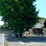
Rokugo gokuraku temple(konono nana haka)
34.3168909,135.5843205,15 -

Hashimoto city asamoyoshi rekishi kan
34.315541,135.58766200000002,13 -
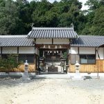
Ougadai-jinja
34.3168022,135.59782189999999,16 -
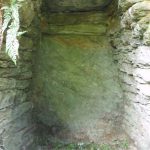
Ichiwaki Oga Kofun-gun
34.31739590498588,135.59738201772154,17 -
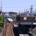
JR Kii-Yamada Station
34.313067,135.58409299999994,15 -
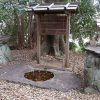
The site of the tower of Konono-ji abandoned temple
34.3078282,135.57833010000002,15 -
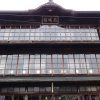
Old Katsuragi-kan
34.3073959,135.5570378,17

 Subsidies for Culture and Arts Promotion from the Agency for Cultural Affairs of Japan