The Nankaido reaches to the west end of Kinokuni and continues to the Shikoku Island. Kada is a watando (port) leading to Awaji and Shikoku. It is also the starting point of Katsuragi-Shugen. On this route you will mainly take the Awashima Road and walk on the Prefectural Road no.7 along the way. You can enjoy the scenery of Kada facing the sea and the historical spot “Kada-ura Hakkei (the eight views of Kada-ura)”.
The pink line indicates where the Nankaido used to be. The red line is the walking course.
-

Nankai Hachimanmae Station
34.252647,135.12163499999997,13 -
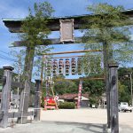
Kimoto hachiman-gu Miyahara
34.26360610155123,135.12251192540896,17 -
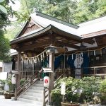
Kimoto hachiman-gu
34.2656898,135.12090260000002,13 -
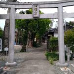
Iyato hachiman-jinja Shrine
34.260924,135.10069699999997,14 -
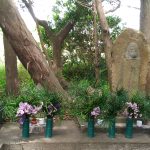
Shiojizo-do ruins
34.269875707637304,135.0845631993668,15 -
The estimated place as 'Kada Umaya'
34.27586464670868,135.0809207595246,17 -
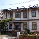
Old Kada Police Station
34.2754369,135.0764881,15 -
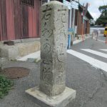
Signpost
34.27566982802291,135.0761032351959,15 -
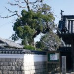
Jogyoji no byakushin
34.276312837719736,135.07600597301632,15 -
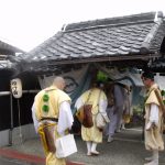
Mukai no bo (mukai-ke house)
34.2757606,135.0758373,16 -
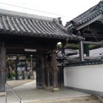
kogen-ji temple
34.275033,135.07536000000005,15 -
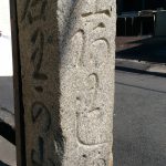
Signpost
34.275377036238524,135.07445127138067,18 -
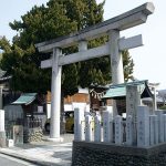
Kada-kasuga-jinja Shrine
34.2752727,135.07459960000006,15 -
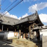
Syonen-ji temple
34.2749069,135.07448210000007,15 -
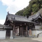
Amida-ji temple
34.2739098,135.07431180000003,14 -
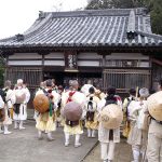
Gyoja-do
34.2739097,135.06951979999997,17 -
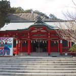
Awashima Shrine
34.2737042,135.06650809999996,13 -
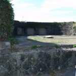
Ruins of a coast-battery in Kada
34.27161890000001,135.0672353,13 -
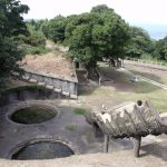
Ruins of a coast-battery in Takurazaki
34.2669441,135.07077419999996,13 -
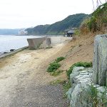
Akura-no-hama
34.265346128846254,135.06162055805055,16 -
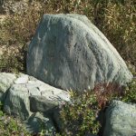
Osaki (another theory)
34.26462500874655,135.06132435841369,17 -
Tosa-domari
34.29747017554833,135.04703526255184,14 -
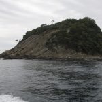
Kannen-kutsu
34.292892,135.02728709999997,13 -
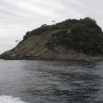
Tomogashima Gyojogosho no gaku
34.29293264420931,135.02722122743455,17 -
Johon-kutsu
34.2912226,135.02605829999993,13 -
Torajima horui ruins
34.29254783357827,135.02601009444277,17 -
Akai
34.2927153,135.02334059999998,13 -
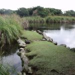
Shinja-ike
34.2857879,135.01825910000002,13 -
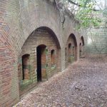
Ruins of a coast-battery in Tomogashima 4th
34.2843505,135.01476320000006,14 -
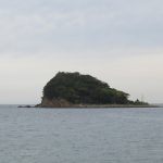
Tsurugino-ike
34.28848804142746,135.0137960895355,14 -
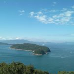
Imoga-shima・Katami-no-ura
34.27936176165539,135.00955819929197,14 -
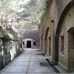
Ruins of a coast-battery in Tomogashima 3rd
34.28015490000001,135.00635450000004,14 -
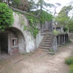
Ruins of a coast-battery in Tomogashima 5th
34.28391084586856,135.00448361537474,14 -
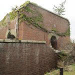
Ruins of a coast-battery in Tomogashima 2nd
34.282149,135.0004996,14 -
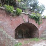
Ruins of a coast-battery in Tomogashima 1st
34.28052280000001,135.00015689999998,14 -
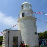
Tomogashima todai
34.2809145,135.00038519999998,14 -
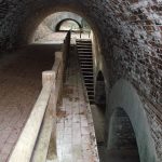
Ruins of a coast-battery in Miyama 1st
34.29676717731976,135.07232696184087,15 -
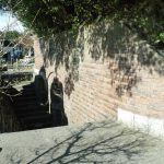
Ruins of a coast-battery in Miyama 2nd
34.29318628162675,135.07276684411931,17

 Subsidies for Culture and Arts Promotion from the Agency for Cultural Affairs of Japan